🌤 Trail Weather — Plan Your Hike
Updated every 6 hrs · Trailhead coords
🥾
Trail Ready
37°F, Clear Sky. Layer for elevation. Summit conditions may differ from trailhead.
💨 Wind
0 mph SW
Gusts to 3 mph
💧 Humidity
78%
High humidity — pace yourself
👁 Visibility
6.2 mi
Good visibility
☁️ Cloud Cover
0%
Clear — full sun exposure
🌅 Sunrise
7:13 am
Ideal start time
🌇 Sunset
6:07 pm
Off trail by this
Today — 3-Hour Intervals
11 pm
🌙
37°
Feels 37°
💨 0/3
5-Day Forecast
💧 Humidity
79% High humidity — pace yourself
👁 Visibility
6.2 mi — Good visibility
☁️ Clouds
0% Clear — full sun exposure
🥾
Acceptable — Check Elevation
💧 Humidity
79% High humidity — pace yourself
👁 Visibility
6.2 mi — Good visibility
☁️ Clouds
0% Clear — full sun exposure
🥾
Acceptable — Check Elevation
💧 Humidity
86% High humidity — pace yourself
👁 Visibility
6.2 mi — Good visibility
☁️ Clouds
14% Clear — full sun exposure
🟡
Warm & Humid — Extra Water
💧 Humidity
76% High humidity — pace yourself
👁 Visibility
6.2 mi — Good visibility
☁️ Clouds
10% Clear — full sun exposure
🥾
Acceptable — Check Elevation
💧 Humidity
81% High humidity — pace yourself
👁 Visibility
6.2 mi — Good visibility
☁️ Clouds
1% Clear — full sun exposure
🟡
Warm & Humid — Extra Water
Trailhead elevation only. Conditions change at altitude. Check weather.gov before heading out.
Oct 24, 9:46 pm
The highest paved road trailhead in California at 10,087 feet opens into a chain of 20 glacial lakes just below the Yosemite boundary. Minimal elevation change for maximum high-alpine scenery.
Trail Overview
This is one of the best values in Eastern Sierra hiking. The water taxi option is worth every dollar — it cuts 2 miles off the loop and lets you spend more time in the basin. The 20 Lakes Basin sits just outside Yosemite and sees a fraction of the park’s traffic. Go counterclockwise to hit the water taxi on the return.
This Hike Is For You If…
Intermediate hikers comfortable at altitude. Anyone who wants a true high-alpine experience without a permit or extreme distance. Outstanding for photographers.
Skip This Hike If…
Skip if you arrived from sea level that morning. Altitude acclimatization makes a significant difference here.
What to Expect on Trail
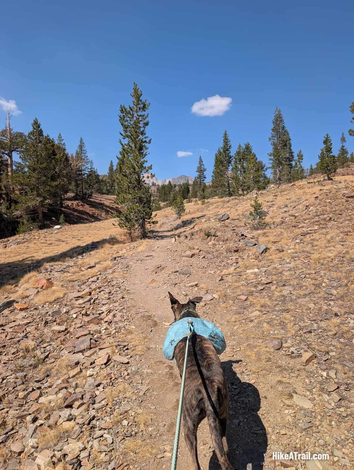
Terrain: Rocky trail above treeline. Some route-finding in the basin. Well-cairned in most sections.
Shade: Mostly Exposed
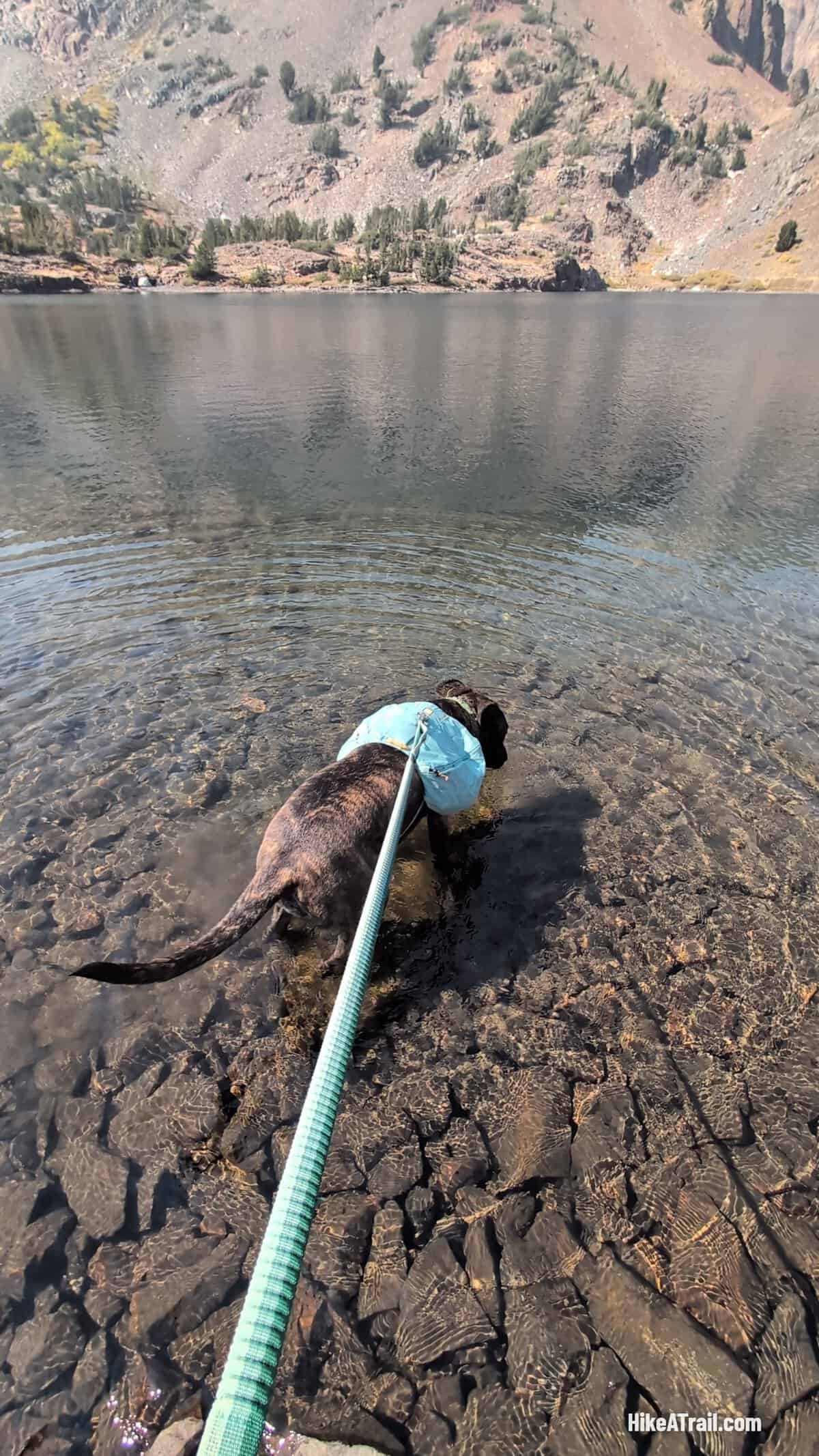
Water: Reliable Year-Round. Abundant lake and stream sources. Filter all water.
Views: Outstanding
Crowds: Popular but far less crowded than comparable Yosemite hikes.
Dogs: Yes, dogs are welcome on this trail.
Best Arrival: Before 9am on summer weekends. Water taxi runs on a schedule — check with the resort.
This is a Tier 1 sourced review. Trail information is based on published sources and research. Andrew has not personally hiked this trail yet. Photos and firsthand sensory detail will be added when upgraded to Tier 2.
👞
The Trail Report — Real Conditions. No Hype.
40 years on California trails. Biweekly trail conditions, seasonal hike picks,
and June's Dog Report — straight to your inbox. Free.
✅ You're in! Check your inbox to confirm.
No spam. Unsubscribe anytime.
Powered by beehiiv.
8.5 miRound Trip
600 ftElev. Gain
easyDifficulty
4-6 hoursEst. Time
11000 ftHighest Point
out_backRoute Type
YesDogs
Trailhead & Logistics
Address: Saddlebag Lake Trailhead, Saddlebag Lake Road, Lee Vining, CA 93541
Parking: Paved lot at Saddlebag Lake Resort. Day use fee. Optional water taxi crosses the lake and cuts 2 miles off the loop — $20 per person round trip. Resort open late June through early October.
Bathroom: pit
Cell Service: none
Best Arrival: Before 9am on summer weekends. Water taxi runs on a schedule — check with the resort.
Permit: No permint needed
Trail Reality Check
This is one of the best values in Eastern Sierra hiking. The water taxi option is worth every dollar — it cuts 2 miles off the loop and lets you spend more time in the basin. The 20 Lakes Basin sits just outside Yosemite and sees a fraction of the park's traffic. Go counterclockwise to hit the water taxi on the return.
Terrain: Rocky trail above treeline. Some route-finding in the basin. Well-cairned in most sections.
Who should do this: Intermediate hikers comfortable at altitude. Anyone who wants a true high-alpine experience without a permit or extreme distance. Outstanding for photographers.
Who should skip this: Skip if you arrived from sea level that morning. Altitude acclimatization makes a significant difference here.